|
We are moving to iNatural in the near future - stay tuned.
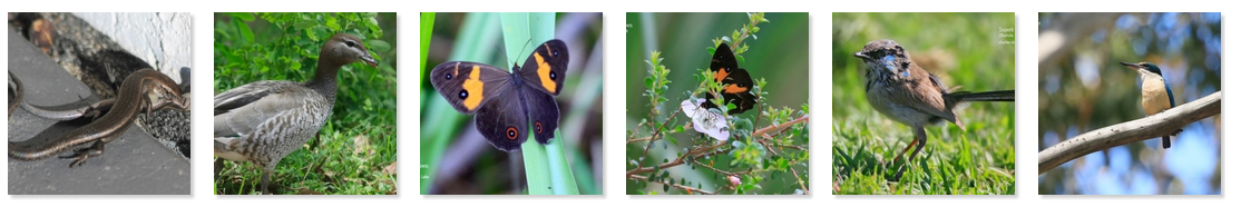
Milton Rural Landcare is very proud to support the Budawang Coast Nature Map database. We started this project in February 2018. It is the result of many people’s enthusiasm to learn more about the natural environment in our uniquely beautiful area; and the desire to record and share our observations of it. The Budawang Coast Nature Map project enables everyone with an interest or passion for the natural world to contribute to this important work of reference.
Our atlas spans the landscape from the Great Dividing Range in the west, covering the Budawang Wilderness area, Morton National Park and other surrounding National Parks. On the coast of New South Wales we cover the ocean north from Moruya up almost to Kiama, which includes both the Bateman’s Bay and Jervis Bay Marine Parks. The aim of this project is to identify as many of the living creatures of this region as possible over the next years to help people explore and learn more about this place, and to provide an ever growing rich database of biodiversity information for locals and visitors, naturalists other scientists and students. |
Citizen Science in Action |
